


CLICK TO ENLARGE AND MAGNIFY
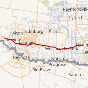
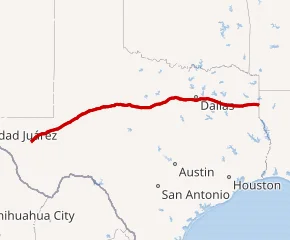
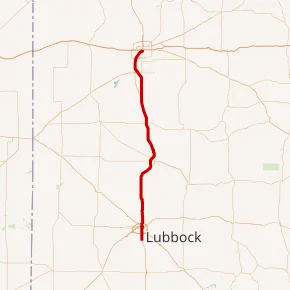
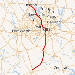
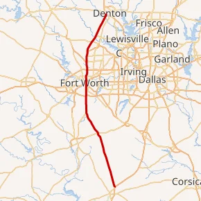
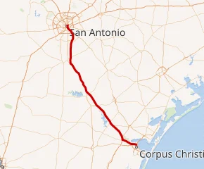
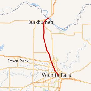
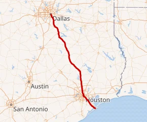
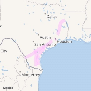
Texas Interstate Corridors

Each map directs to an interactive map for adjustable corridor views.
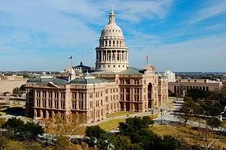
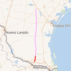
Courtesy of Wikimedia and OpenStreetMap

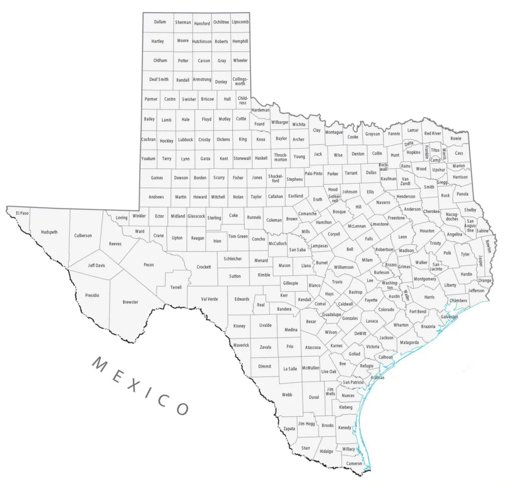
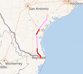
Courtesy of Wikimedia and OpenStreetMap

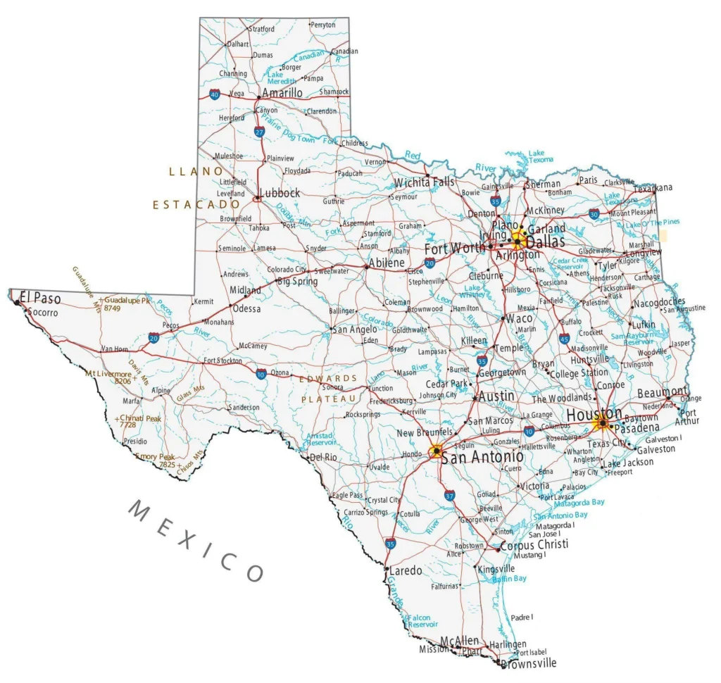
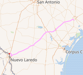
Courtesy of Wikimedia and OpenStreetMap
Courtesy of Wikimedia and OpenStreetMap
Courtesy of Wikimedia and OpenStreetMap

Courtesy of Wikimedia and OpenStreetMap

Courtesy of Wikimedia and OpenStreetMap
Courtesy of Wikimedia and OpenStreetMap
Courtesy of Wikimedia and OpenStreetMap
Courtesy of Wikimedia and OpenStreetMap

courtesy of Wikimedia and OpenStreetMap
Courtesy of WIkimedia and OpenStreetMap
Courtesy of Wikimedia and OpenStreetMap
Courtesy of Wikimedia and OpenStreetMap
Courtesy of Wikimedia and OpenStreetMap
Courtesy of Wikimedia and OpenStreetMap
Courtesy of WIkimedia and OpenStreetMap